
Transform fishing data into pure intelligence
We turn raw government water data into precise, actionable insights for anglers and developers. Our platform delivers nationwide fishing intelligence with unprecedented accuracy and speed.
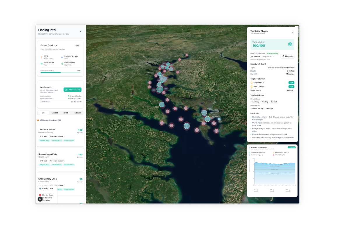
Five-layer data transformation for fishing intelligence
We strip raw government data to its core, rebuilding each record with surgical accuracy. Our pipeline turns fragmented information into a clear, actionable narrative for every water system.
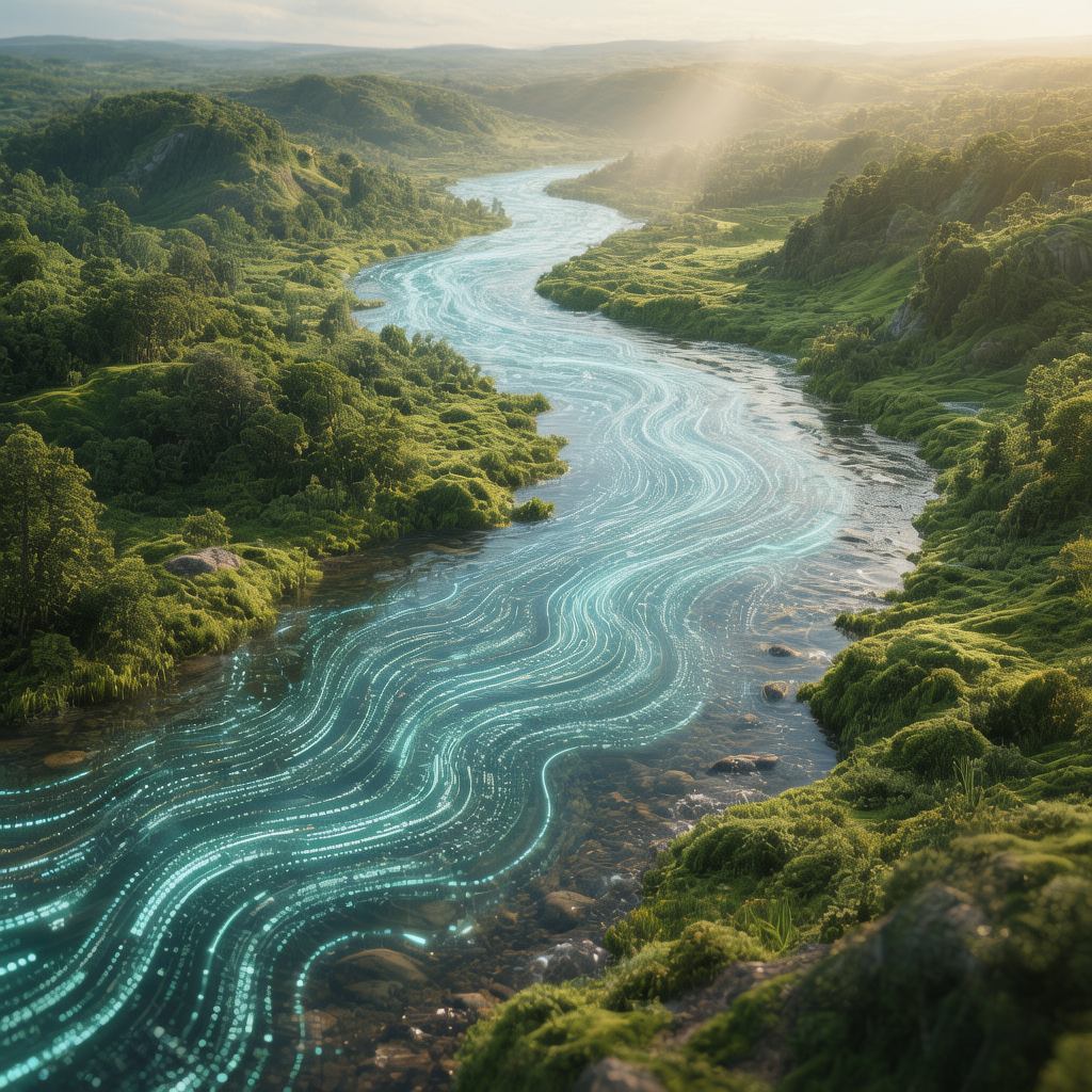
Mapping water systems with surgical precision
We transform raw location data into intelligent geographic insights. Our advanced GPS verification elevates every water record from basic coordinates to a rich, contextual narrative.
PASDA-verified coordinates
Real-time geographic intelligence
Comprehensive location mapping

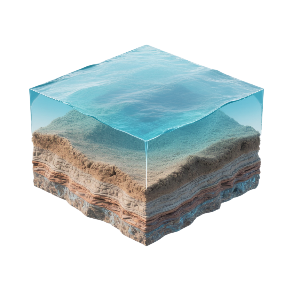
Advanced stream section tracking with precision
We decode complex waterways into clear, actionable geographic data. Our geocoding transforms abstract water bodies into precise, measurable ecosystems.
Upper and lower coordinate mapping
Elevation profile tracking
GeoJSON visualization ready
Bridging government data with developer needs
We combine government-grade data quality with developer-friendly APIs. Our platform translates complex environmental information into actionable intelligence.

Transform your research today.
Our Nation is depending on it.
Unlock nationwide water intelligence with our powerful API and comprehensive ecosystem insights.