The Data Infrastructure for America’s Waters
Empire Fish unifies water, wildlife, and environmental datasets into a single intelligent platform. Our APIs deliver real-time, verified aquatic data—empowering developers, scientists, and policymakers with precision insights to monitor, protect, and understand aquatic ecosystems at scale.
Charting the hidden currents of America's waters. We dive deep into the complex networks that flow beneath the surface, uncovering the stories written in rivers, lakes, and coastal systems.

Discover America’s lakes as living ecosystems of insight.
Empire Fish transforms thousands of verified data points—from state biologists, satellite mapping, and real-time stocking feeds—into a single source of lake-level truth. Whether you chase trophy bass in Pennsylvania’s Cross Creek Lake or plan a weekend on Florida’s Lake Tarpon, our platform reveals the where, when, and why behind every bite.
Every current tells a story—and we translate it.
From trout-rich runs in Pennsylvania’s Yellow Breeches Creek to the salt-tinged estuaries of Florida’s St. Johns River, Empire Fish fuses state fisheries, USGS water-quality sensors, and historical flow records to build predictive river intelligence. Know when water temperature, oxygen levels, and flow rates align for peak fishing success.

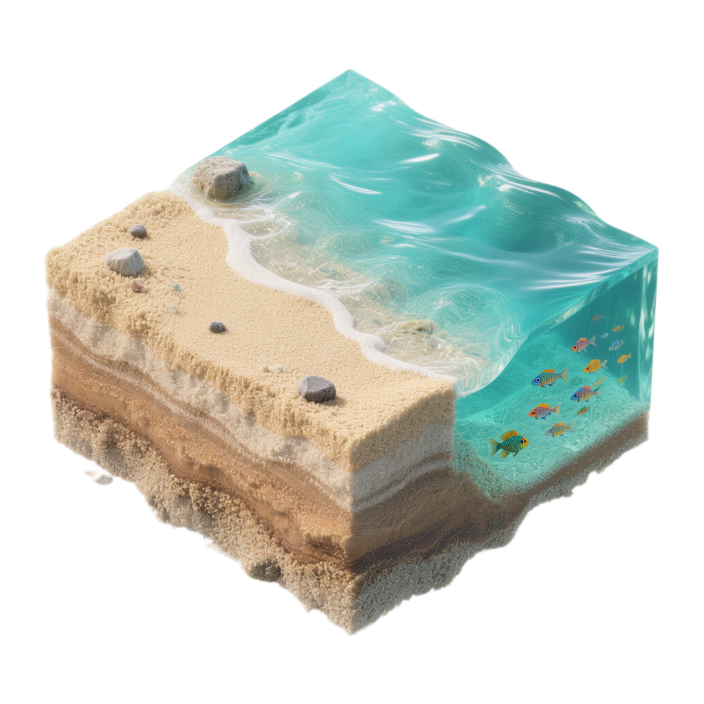
The open ocean meets open data.
Our marine engine integrates NOAA, FWC, and global satellite feeds to track real-time species movements, habitat zones, and coastal access points across the Atlantic, Pacific, and Gulf. From charter captains targeting red drum off Tampa Bay to researchers modeling Chesapeake Bay ecosystems, Empire Fish delivers ocean-scale visibility with local precision.
Government-Grade Data, Developer-Friendly APIs
Empire Fish unifies environmental and fisheries data across every U.S. water system — from alpine lakes to coastal estuaries. Our platform delivers standardized, real-time insights that span agencies, ecosystems, and states.
State APIs Integrated
with more coming online each month

Water bodies mapped with more coming online each month
Sub-3-second response times for all of our endpoints
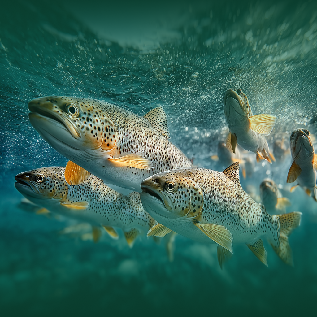
We are building the data backbone of the outdoor economy. We transform messy, fragmented government datasets into clean, real-time fishing intelligence — unifying millions of records from state and federal agencies into a powerful API Platform.
Our API platform enriches raw data with species details, stocking events, habitat quality, and geographic precision, giving developers, anglers, and conservationists instant access to trustworthy environmental insight.
Unified data infrastructure
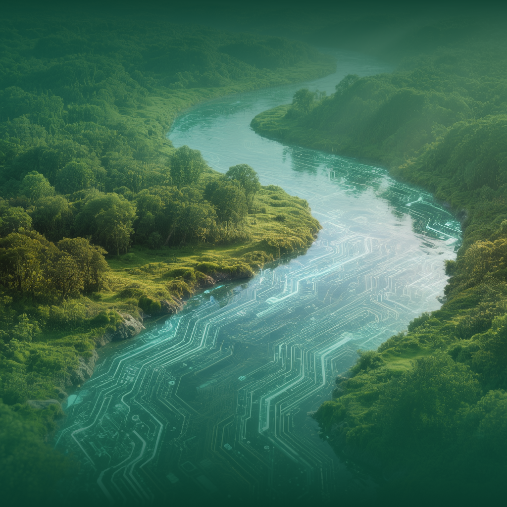
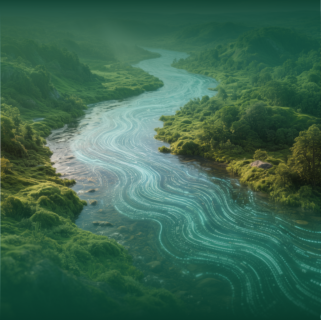
Empire Fish’s API network transforms fragmented environmental datasets into a single, connected intelligence layer. We integrate state, federal, and scientific sources—standardizing complex water, fish, and habitat data for developers, researchers, and conservation technology teams.
Precision mapping
Deliver high-resolution, location-based insights with standardized datasets covering lakes, rivers, and coastal systems nationwide.
Scalable intelligence
Build applications that draw from live environmental data streams—powering models, forecasts, and decision tools at a national scale.
Ecosystem monitoring
Track species presence, habitat conditions, and environmental shifts in real time to support science, conservation, and sustainable resource management.
Power your next water intelligence project
Connect with our team to transform your aquatic research and applications into the most advanced technology system on the market

